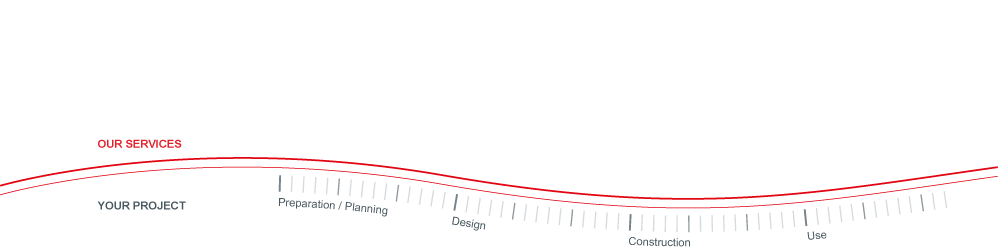
All Your Survey Requirements
From Concept to Completion
OIL, GAS & INDUSTRIAL SURVEYING
Warner Surveys provides a full range of industrial measurement and dimensional control services for oil, gas, petro-chemical and other industrial clients to meet all their survey requirements. We particularly specialise in surveys for shutdown projects, where our market-leading Critical Interface service and commitment to take end-to-end responsibility for our services mean we do whatever it takes to ensure your lift & fit is right first time. We use the latest technology, including 3D laser scanning and heavy lift CAD visualisations to provide you with reliable, high quality data compatible with a wide range of software suites.
Oil, Gas & Industrial 3D Laser Scanning
Our highly accurate laser scans provide completely reliable as-built data into any AutoCAD or MicroStation-based system, allowing clients to improve project planning and to achieve large savings through the avoidance of re-work and clash.
Achieving first time lift & fit is critical to minimise shutdown costs. Our commitment to delivering our clients’ requirements, combined with our technology and expertise, has enabled us to deliver first time lift & fits for over 20 years.
With the advent of 3D Laser Scanning – achieving a clash free design is now a realistic goal. Accurate and complete 3D images, CAD models and project visualisations can now be provided for virtually any complex, congested industrial environment.
Warner Surveys can play a significant role during FEED on most major projects. Strategic input relating to the capabilities and expectations of Dimensional Control, critical path fit up’s and CAD Modelling during detailed design and project execution phase can be vital for the on time completion of site works.
Using our 3D CAD modelling and measured building surveys expertise, supported by the latest 3D laser scanning technology and selected alliances with world-leading BIM specialists, means we can help specify and then deliver any BIM project to the highest standards.
We use the latest 3D laser scanning technology to accurately map surface features as varied as historic environments, cave complexes or crash scenes, or alongside conventional surveys to capture particularly detailed building information, both externally and internally.